Clayoquot Plateau

About Clayoquot Plateau
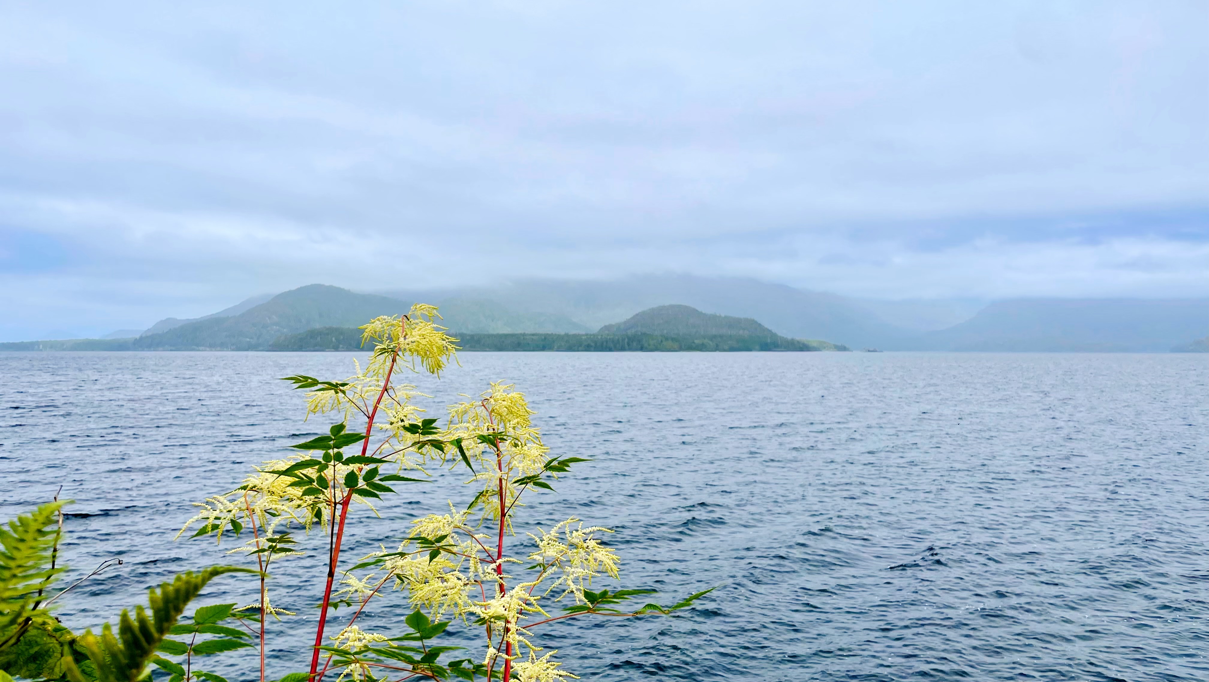
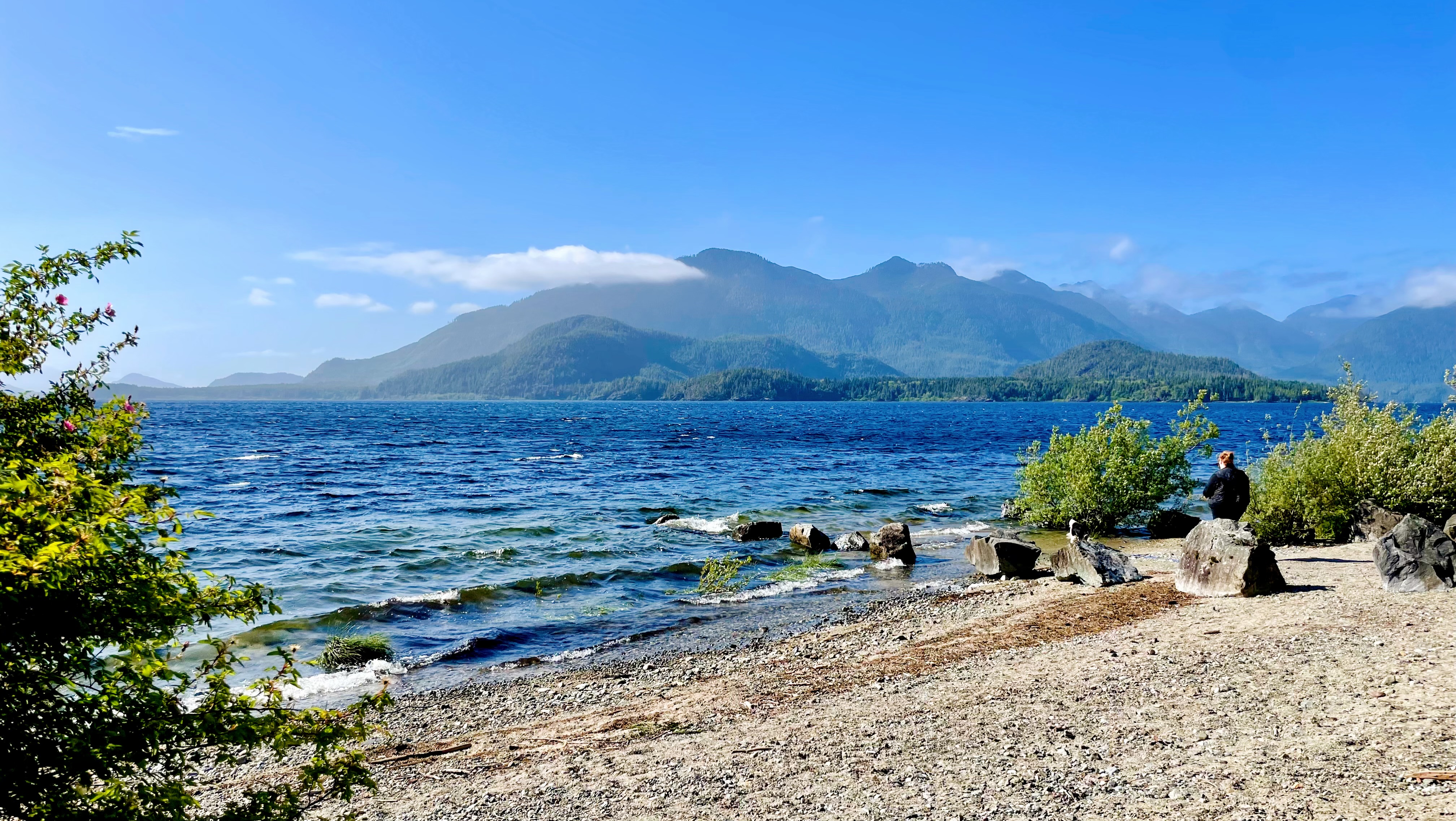
Clayoquot Plateau Provincial Park, a remote wilderness on Vancouver Island’s West Coast, spans 3,132 hectares of rugged beauty near Clayoquot Sound. This high-elevation plateau, accessible via logging roads off Highway 4, protects pristine old-growth forests of Sitka spruce, hemlock, and cedar, alongside fragile karst landscapes with sinkholes and small lakes. The park offers breathtaking summit views of the sound, surrounded by untouched nature. A hidden gem, Wally Creek (Taylor River), just off the highway, provides a serene spot for a quick dip or picnic. Ideal for adventurers seeking solitude, Clayoquot Plateau promises an untouched escape into Vancouver Island’s wild heart, blending raw landscapes with ecological wonders.
Nearby Locations

Ucluelet
Ucluelet, a charming coastal village on Vancouver Island’s west coast, is a...

Tofino
Tofino, a coastal haven on Vancouver Island’s West Coast, captivates with...

Port Renfrew
Port Renfrew, a rugged coastal village on Vancouver Island’s West Coast, is...